Mount Rainier: A Majestic Giant with a Hidden Danger
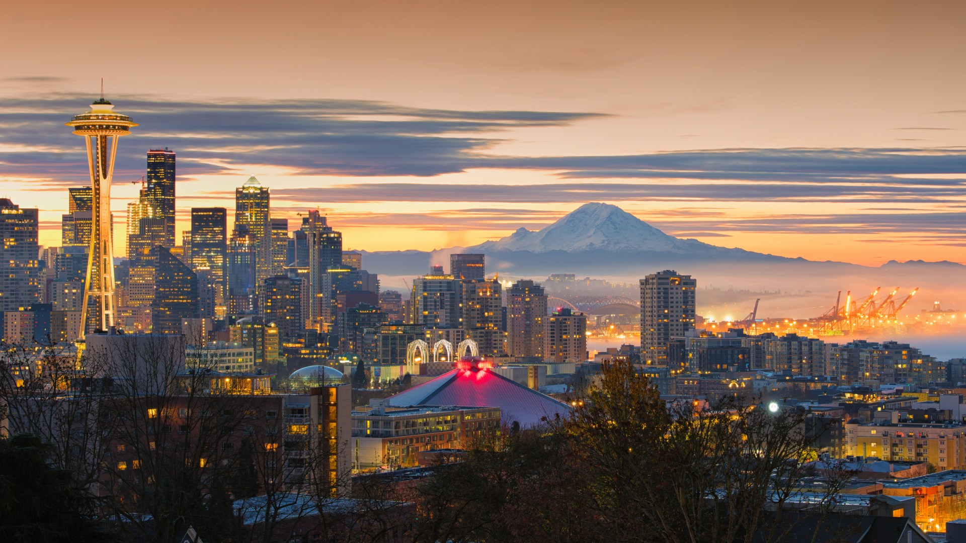
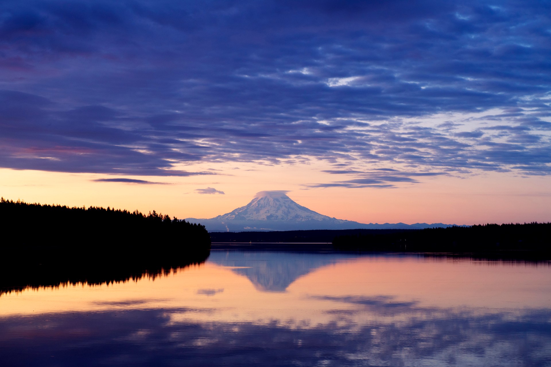
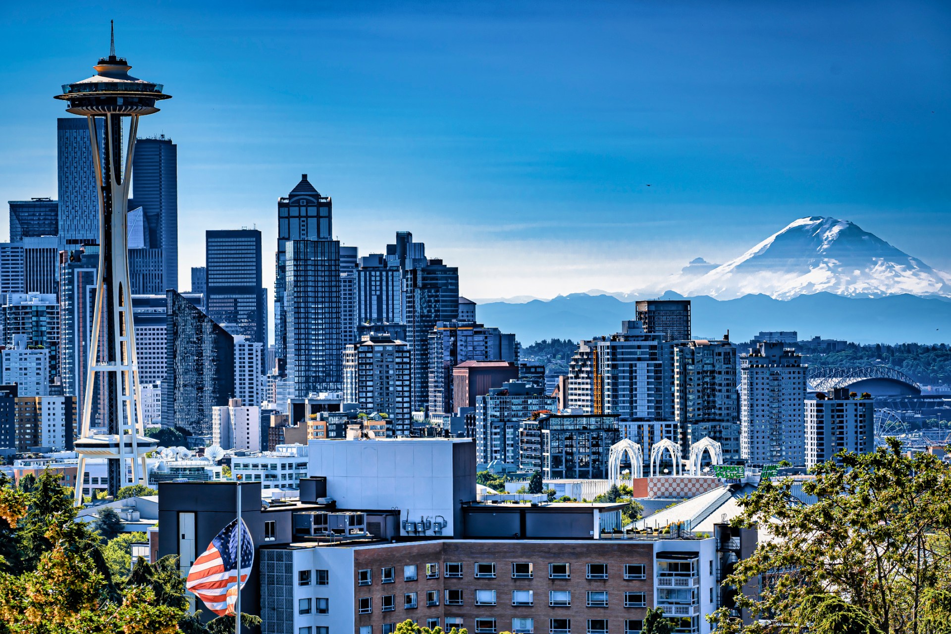
Mount Rainier, a majestic peak towering over 14,000 feet in Washington state, is an iconic symbol of the Pacific Northwest. Its postcard-perfect vistas have long captivated visitors, but beneath its serene facade lies a significant threat that keeps scientists on high alert. While not an immediate eruption concern, the volcano is considered the most dangerous in the United States due to a more insidious danger: the potential for catastrophic landslides and mudflows.
The Real Threat: Lahars, Not Lava
The primary concern surrounding Mount Rainier isn’t molten rock spewing from its summit. Instead, experts are deeply worried about what are known as ‘lahars’ – essentially colossal, fast-moving avalanches of mud, rock, and water. These devastating flows can surge down the volcano’s slopes with incredible speed and force. According to reports, lahars can reach speeds exceeding 100 miles per hour, grow to immense proportions, and travel for dozens of miles, leaving a trail of destruction in their wake. Anything in their path faces an almost certain grim fate.
The Ice Factor: A Ticking Time Bomb
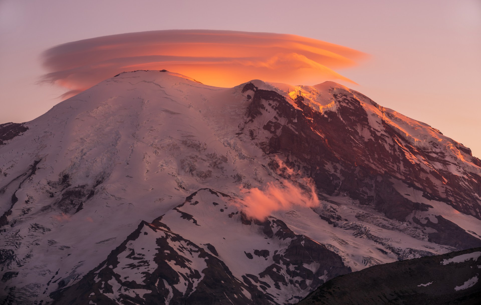
What sets Mount Rainier apart and amplifies the lahar risk is the sheer volume of ice and snow it holds. Its 25 major glaciers contain more frozen water than all the other volcanoes in the Cascade Range combined. This enormous reservoir of ice means that even a minor disturbance could trigger a massive release of ice, water, mud, and debris, sending it hurtling downhill with alarming speed. Crucially, a volcanic eruption is not a prerequisite for such an event.
Factors such as:
- Heavy rainfall: Prolonged or intense downpours can destabilise the mountain’s icy slopes.
- Rapid snowmelt: Unusually warm temperatures or sudden thaws can lead to significant water accumulation.
- External triggers: Even events seemingly unrelated to the volcano, like a dam failure upstream, could initiate a lahar.
These ‘no-notice’ lahars present a particularly frightening prospect. As one former geophysicist aptly put it, they are “the things that go bump in the night,” a sentiment that highlights the unsettling and unpredictable nature of this threat.
A Growing Population in the Danger Zone
The potential impact of a major lahar is significantly amplified by the growing number of people living in areas directly in the path of these destructive flows. Lahar routes extend into Pierce County, a densely populated region home to approximately 150,000 residents.
Key communities identified as being at high risk include:
- Orting
- Puyallup
- Sumner
Experts estimate that in the event of a major lahar, these towns could be reached within a mere half-hour, potentially endangering around 60,000 people. The speed and suddenness of such an event leave very little time for evacuation.
Lessons from History: The Armero Tragedy
The destructive power of lahars is not a theoretical concern; history has provided stark and tragic examples. In November 1985, an eruption at Colombia’s Nevado del Ruiz volcano unleashed a devastating torrent of mud, water, and volcanic debris that completely annihilated the town of Armero. This catastrophic event claimed the lives of over 23,000 people, with most perishing within minutes. The Armero disaster remains one of the deadliest volcanic catastrophes of modern times, serving as a chilling reminder of the immense destructive potential of lahars. While scientists are not predicting an imminent Nevado del Ruiz-scale event at Rainier, the possibility of a rapid mudslide remains a serious concern.
Preparedness and Evacuation: A Multi-faceted Approach

In response to the ever-present threat, authorities have invested significant resources in preparing for the worst-case scenario at Mount Rainier. A comprehensive strategy involving both technological monitoring and public preparedness has been implemented.
Key preparedness measures include:
- Advanced Monitoring Systems: Extensive monitoring equipment has been installed throughout the Cascade mountain range. This network is designed to detect seismic activity and identify any early signs of a developing lahar.
- Real-time Information Dissemination: Data from the monitoring systems is relayed to emergency responders, enabling them to react swiftly and effectively if an alert is issued.
- Large-Scale Evacuation Drills: Preparation extends beyond technology to public education and practice. In 2024, a significant lahar evacuation drill involved over 45,000 students and staff from more than 20 schools located west of Mount Rainier. This exercise was one of the largest of its kind globally.
These drills reinforce a critical message that emergency planners have consistently emphasised: when a lahar is approaching and time is of the essence, evacuating on foot and heading for higher ground is one of the most effective strategies for survival. The ongoing efforts to monitor, predict, and prepare for lahars underscore the seriousness of the threat posed by this seemingly tranquil, yet potentially perilous, natural wonder.