Wild Winds and Widespread Showers Lash Southern Australia
Southeastern Australia is currently in the grip of a potent low-pressure system, unleashing fierce winds across Victoria, South Australia, and New South Wales, including the ACT. Severe weather warnings have been issued, cautioning residents about the potential for damaging gusts. Meanwhile, Western Australia is also bracing for a wintry blast, with an approaching cold front set to bring strong winds to its southwest coastline. These contrasting weather patterns highlight a significant atmospheric event impacting both ends of southern Australia this Tuesday.
The most dynamic weather phenomenon at play is a deep and complex low-pressure system situated over the eastern Great Australian Bight. This system is slowly making its eastward journey, and its intensity has already been evident. In a dramatic demonstration of its power, Thredbo Top Station, Australia’s highest weather station at an elevation of 1965 metres, recorded an astonishing wind gust of 133 km/h overnight.
Where the Wind Will Bite Hardest on Tuesday
Coastal areas and elevated regions across southeastern Australia are expected to bear the brunt of the strongest winds today.
- South Australia: Residents along the West Coast can anticipate damaging wind gusts reaching up to 90 km/h. The Flinders Ranges and the Mount Lofty Ranges are set for even more intense conditions, with gusts potentially hitting 100 km/h.
- Victoria: The state’s alpine region is forecast to experience gusts of wind that could reach close to 100 km/h.
- New South Wales: Damaging wind gusts are predicted to sweep across a significant portion of the Great Dividing Range, extending all the way to the Northern Tablelands. The Snowy Mountains are particularly vulnerable, with further gusts exceeding 100 km/h likely.
Residents in these affected areas are urged to stay informed and monitor any updates to the official weather warnings.
Persistent Showers Dampen the Southeast
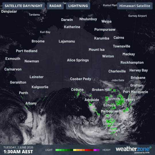
Beyond the strong winds, a widespread pattern of showers is drenching the southeast of the continent. This rainfall is stretching from Ceduna on South Australia’s West Coast, across the entirety of Victoria, into northern Tasmania, and through central and southern New South Wales, reaching as far as Sydney.
These ongoing showers follow a period of significant rainfall recorded in the 24 hours leading up to 9 am on Tuesday:
- Victoria: Five locations within the state’s Northern Country and North East forecast districts recorded rainfall totals exceeding 50mm. The highest reading was a substantial 65.4mm at Charnwood, a rural area near the small town of Strathbogie.
- South Australia: The Adelaide Hills experienced the heaviest rainfall in the state, with Warren Reservoir, a crucial part of Adelaide’s water supply, receiving a very useful 52.6mm. Further south, Mount Gambier, in the far southeastern corner of SA, recorded its heaviest daily rainfall in over two years, with 29.6mm.
- New South Wales: At least three locations situated in the western foothills of the Snowy Mountains in southern NSW received over 25mm of rain.
A Mixed Bag for the Snowfields
While the rain is proving beneficial for many parts of the country, it’s less welcome news for the snowfields. As anticipated, a period of warmer temperatures has arrived between the light snowfalls experienced last weekend and the heavier snow expected later in the week.
For context, Thredbo Top Station registered a chilly -2.6°C at 10 am on Monday. By 10 am on Tuesday, the temperature had risen to 1°C, accompanied by drizzle. This delicate balance between snow and rain is a common characteristic of Australian weather, and currently, the conditions are favouring rain over snow. However, this is expected to change within the next 24 hours, with the forecast pointing towards a return of snow. For the latest snow forecasts, live snow cam images, and more detailed information, a dedicated snow page is updated daily throughout the winter season.


